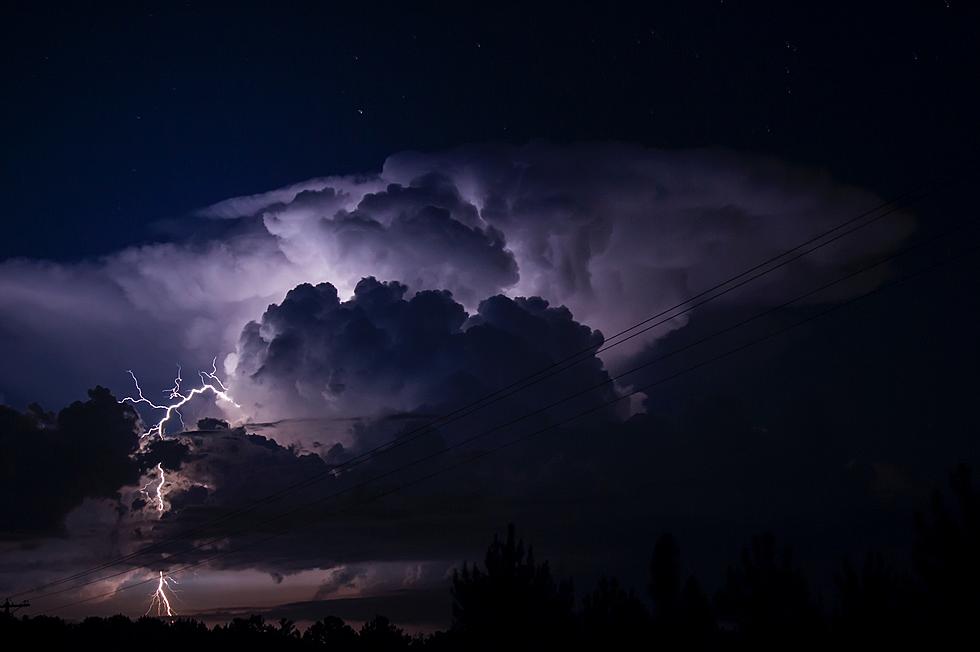
Several reports appearing from news outlets, like our friends at KWWL, are bracing for some possible serious weather issues: Showers/storms are likely. The threat for severe weather is between 5 PM and midnight. Damaging winds are possible with the severe storms. Locally heavy rain with the storms as well. Make sure you have multiple ways to get weather alerts. News outlets are currently monitoring the possibility for severe weather this evening (Tuesday 7/5) and into the overnight hours. As of now large hail, isolated tornadoes, and damaging winds are all possible with this system.
In addition, Meteorologist Hannah Messier of KCRG states,
“A complex of storms has developed into an ongoing derecho in parts of the Dakotas this afternoon. The heat and humidity we’re experiencing, along with this complex of storms, will play a role in any severe weather that moves through the area," and cautions that while a derecho is possible, “What we saw in 2020 was an outlier, so don’t panic and immediately think of the extreme, widespread destruction was saw on August 10th, 2020,”
This video was taken in South Dakota of this same storm complex around 2:30pm by Aaron Groen of Sioux Falls, South Dakota.
According to reports the highest risk is in northern Iowa starting after 5pm and continuing into the overnight hours. For people in those areas, having an emergency plan in place is key.
LOOK: The most expensive weather and climate disasters in recent decades
More From Eagle 102.3
