What You Need to Know About RAGBRAI Coming to Dubuque
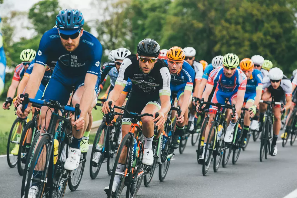
For the first time since 2010, the RAGBRAI route includes Dubuque. The largest bike-touring event in the world kicks off on July 18th, where cyclists will be starting their 391-mile trek across the state in Onawa and make their way to Dubuque over the course of the week.
Dubuque is the final scheduled overnight stop on this year's route. Residents can expect to see RAGBRAI riders come through on Saturday, July 25th. It will be a busy day, particularly in the morning, when riders will be traveling through the area from Dyersville. Road closures will be in effect, traffic will be rerouted, and thousands will be gathered on the streets to get a glimpse of the action.
READ MORE: Dubuque Mayor Brad Cavanagh Talks Impact of RAGBRAI on Dubuque
Dubuque's RAGBRAI Route:
In lieu of all of that, I thought it would be wise to compile an informational guide, using the Dubuque RAGBRAI media packet as my source. This guide breaks down the RAGBRAI route, closures, and more.
Per the packet, riders will spend the night of Friday, July 24th in Dyersville. The following morning, they will enter Dubuque via Seippel Road, near the county fairgrounds, before heading east on Chavenelle Road. From Chavenelle, they will turn north on Radford Road, then east onto Pennsylvania Avenue, crossing the Northwest Arterial and John F. Kennedy Road, east onto University Avenue, east onto Loras Boulevard, and then head through downtown Dubuque.
That might be opaque to read through, which is why the City of Dubuque has released a map of the route, to give a visual representation of the path riders will be taking:

The important location to note is the "dip site," which marks the end of the statewide trek for riders. The "dip site" is A.Y. McDonald Park in Dubuque, and riders are expected to roll through sometime in the morning of July 25th, likely between 9am and noon.
Traffic Impact of RAGBRAI in Dubuque:
If you do any kind of commuting in Dubuque on July 25th, your route is likely to be impacted by RAGBRAI. As a result, the City of Dubuque has released a list of certain designated intersections, which will be controlled by the Dubuque Police Department and City staff. These intersections are:
• Pennsylvania Ave. at the Northwest Arterial
• Pennsylvania Ave. at John F. Kennedy Rd.
• Loras Blvd. at N. Grandview Ave.
• Loras Blvd. at Central Ave.
• E. 14th St. at White St.
• Rhomberg Ave. at Fengler St.
Traffic will also be impacted on Kerper Blvd. as it enters and leaves the dip site area. One lane of traffic in each direction will be dedicated for RAGBRAI support vehicles.
How to Navigate Dubuque Around the RAGBRAI Route:
You can find a detailed look at detours and alternate routes on Facebook.
From the West: If traveling to Dubuque from the west (including the Friday overnight stop in Dyersville), the most direct route to reach A.Y. McDonald Park will be to take U.S. Highway 20 (marked locally as Dodge St.) into downtown Dubuque. At the intersection with Locust St., turn left. Keep right at the next intersection to join the Locust St. Connector. Travel east for two blocks, then turn left on U.S. Highways 61/151. Stay on U.S. 61/151 for approximately 1.5 miles, then take Exit 190 to Kerper Blvd. At the end of the off ramp, turn left onto Kerper Blvd. Continue north on Kerper Blvd. for 1.2 miles. Turn right onto the Shiras Ave. Extension, then left onto Harbor St., then right onto Volunteer Dr. to enter A.Y. McDonald Park.
From the South: If traveling to Dubuque from the south (from Cedar Rapids or the Quad Cities), enter the city limits on U.S. Highways 61/151 near Key West. Continue northbound on U.S. 61/151 for 3.8 miles. Use Exit 190 (Kerper Blvd.) to depart the highway. At the end of the off ramp, turn left onto Kerper Blvd. Continue north on Kerper Blvd. for 1.2 miles. Turn right onto the Shiras Ave. Extension, then left onto Harbor St., then right onto Volunteer Dr. to enter A.Y. McDonald Park.

From the East: During the month of July, the Julien Dubuque Bridge connecting Dubuque to Illinois on U.S. Highway 20 will be closed in both directions for repairs. Traffic is being detoured to the Iowa-Wisconsin Bridge, which carries U.S. Highways 61/151 into Dubuque. Once into Iowa from Wisconsin on U.S. 61/151, use Exit 190 (Kerper Blvd.) to depart the highway. The exit ramp will merge onto E. 16th St. At the intersection with Kerper Blvd., turn right to go north on Kerper Blvd. Remain on Kerper Blvd. for 1.2 miles. Turn right onto the Shiras Ave. Extension, then left onto Harbor St., then right onto Volunteer Dr. to enter A.Y. McDonald Park.
From the North: Iowa Highway 3 is locally designated as Central Ave. once inside the Dubuque city limits. Continue southbound on Central Ave. for 2.7 miles, then turn left onto E. 16th St. Travel on E. 16th St. for 0.8 miles, then turn left onto Kerper Blvd. Remain on Kerper Blvd. for 1.2 miles. Turn right onto the Shiras Ave. Extension, then left onto Harbor St., then right onto Volunteer Dr. to enter A.Y. McDonald Park.
You can find out everything you need to know about RAGBRAI coming to Dubuque on July 25th on the official Dubuque RAGBRAI website.
A Historic Home on Loras Blvd in Dubuque is For Sale
Gallery Credit: Steve Pulaski
More From Eagle 102.3